
Chee Chee Flat
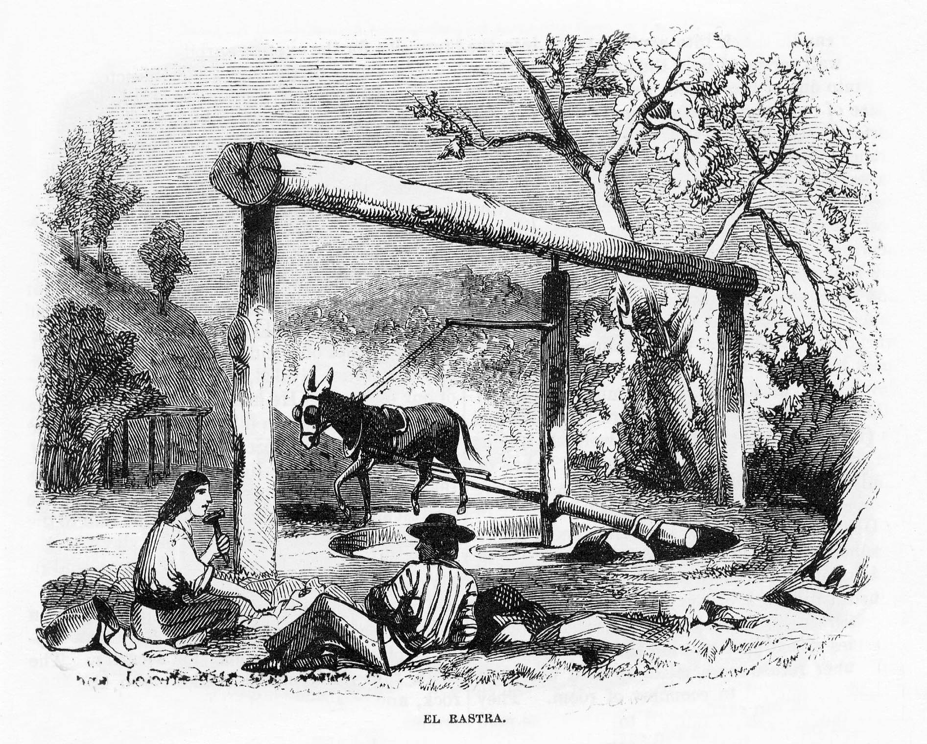
Chee Chee Flat was a flat that was mined in the early days, reputedly by Mexicans since before the discovery of gold on the American River in January of 1848, and certainly mined for several years thereafter. A small community, named Chee Chee Flat, grew up around the diggings, but lasted for only a few years before the easily recovered gold played out. There were other later attempts to recover the rich stream gravels, primarily by hydraulic mining, and even into the 1930s by snipers and local farmers and ranchers.
There are two different accounts of the naming of Chee Chee Flat: one states that it was named for the ladies of the night who plied their trade in the camp; the other that it was named for two Chinese brothers who had gardens there and supplied the miners with fresh vegetables (Motloch 2008). According to another account, at one time the camp was large enough to support four stores (Alberts 1967:3), but that appears unlikely.
Like its neighbors, Murray Creek and Whiskey Slide, the boom years for Chee Chee Flat waxed and waned in the 1850s and 1860s, with the height of production in the early 1860s. The place was so important that, during the 1860s, Pony Denig’s Express, located in San Andreas, ran to Chee Chee Flat and other nearby locations every Wednesday, Friday, and Sunday. Mail was delivered to McGowan’s Store in Chee Chee Flat to be picked up by the miners. With the discovery of the rich quartz vein on the East Belt of the Mother Lode at Sheep Ranch in 1868, most of what little was left of the community picked up and moved on to that more prosperous mining camp, leaving behind only farmers, ranchers, and a few miners.
Some of the most important sources of information about Chee Chee Flat in the early 1860s were derived from the records of placer mining claims in the Mountain Ranch District, 1862-1864, and shortly thereafter. According to the records of those claims, the areas around Mountain Ranch and El Dorado were extensively worked during those years by hundreds of miners prospecting on numerous placer claims. Many of these claims were located on Dutch Hill, southeast of Chee Chee Flat; in the Mountain Ranch fields; and on Negro (Nigger) Flat on lands owned by Joseph Warren, about one mile northwest of Chee Chee Flat.
In the immediate area of Chee Chee Flat, mining was conducted on the flat itself, including the claim and garden of John Francil/Franzel, and on several claims running down the gulch south of the flat. Some men filed only one claim, while others filed on three or more. None of their names were noted in the 1860 or 1870 census rolls, suggesting that they had simply filed claims, worked them for a short term, then moved on to richer strikes as the shallow workings played out.
Nonetheless, the lands in the immediate area of Chee Chee Flat were extensively mined and hydraulicked, as attested to by the remnant ditches, pits, piles of waste rock, and reservoirs in the flat and gulch. For many years the family of Luellen Del Papa has collected nuggets from the area of the early Cleveland mine at the intersection of Ponderosa Way and Whiskey Slide roads (Del Papa 2008).
In 1860, the census enumerator noted over 20 miners, six of them Chinese, in the Chee Chee Flat area; by 1870 there were only about 10 men and no Chinese noted as miners; and about the same number in 1880. In 1900, only two men listed their occupations as miner, and in 1910, only three in the nearby area were so listed, but all were also farming. The heyday of mining, therefore, appears to have ceased by the mid-1870s.
Although the exact locations of the dwellings and commercial enterprises of the early day miners, settlers, and farmers are unknown, several of them were located on Chee Chee Flat, including Anderson’s Saloon and Hall, McGowan’s Store, Martin Fisher’s ranch and stable, John Francil’s garden and cabin, Philip Foley’s cabin, Dennis Burns’ miner’s cabin and later homestead, and undoubtedly several others. One that was well remembered was the Red Light Saloon, which catered to “all the needs of men” (Del Papa 2008). Located between the junction of Ponderosa Way and Murray Creek roads, the site is noted only by a cellar excavation in the hillside. As recently as the 1960s, a frame board and batten cabin stood in the settlement, but it, too, has passed to history.
One of the early commercial establishments in Chee Chee Flat was that of Jonas Mauritson, who also went by the name of Charles Anderson. A native of Norway, it was reported that he had jumped ship in New York in 1855 and changed his name to keep from being sent back to Norway. First settling in West Point, he operated the West Point Brewery with a partner, selling it in 1873. By 1867, he had established a saloon in the camp. Known as Anderson’s Saloon and Hall, it was valued at $100. In November of that year Anderson sold one-half of his land at Chee Chee Flat, 300 feet square, known as Anderson’s Saloon and Dance Hall, bounded by unclaimed land on all sides, to G. P. Landquin (Deed Book Q:26).
The following year he was assessed for Anderson’s Saloon and Hall, now valued only at $25, as well as a house and lot known as Anderson’s Saloon at Copperhead Flat (an early name for Sheep Ranch) valued at $50, with stock in trade valued at $20, and one horse. This was the precursor of the Pioneer Hotel, still a landmark in Sheep Ranch, and operated by Mauritson until his death in 1904, and by his widow Elizabeth until her death in 1941.
Another early settler in Chee Chee Flat was Joseph Warren, a native of England, and a mariner who turned to farming. By 1860 Warren’s real estate was valued at $1,000, suggesting a sizeable farm. In 1875 Joseph and Mary Warren’s daughter married Jonas Mauritson in Sheep Ranch, and the family raised a family at their hotel and stable enterprise. The Warren ranch was located at Negro (Nigger) Flat, about one mile northwest of the community on the Mokelumne Hill to El Dorado Trail (Ponderosa Way).
In addition to its location as an important early day placer mining area, Chee Chee Flat was ideally situated at the juncture of three early-day transportation routes: Whiskey Slide Road, the route from Jesus Maria to El Dorado; the Mokelumne Hill to El Dorado Trail (Ponderosa Road/M 44 Road); and the Murray Creek Road to Salamander Gulch and San Andreas. Therefore, it provided a waystation for travelers, and, for a few brief years, was the trading center for the nearby mines. Although the roads continue to be used to this day, Chee Chee Flat gave up its commercial activity by the 1870s, and folk traveled a bit farther to Mountain Ranch and El Dorado for their sustenance.
Water for the hydraulic operations of Burns and Foley, as well as the earlier mining activity, was brought to the area through a series of ditches and flumes from San Antonio Creek. The Table Mountain Water Company, a joint stock company, was formed September 15, 1853, to bring water into El Dorado and Cave City, extending it as far as San Andreas in 1856 (Joy 1972:17). The company cut a ditch from below San Antonio Falls into O’Neil Creek, thence from O’Neil Creek at Table Mountain Flat (M 24 Ranch) to El Dorado, McKinney’s Diggings, and San Andreas. Water was then brought from a reservoir near the present Emery Reservoir at Table Mountain near Esperanza, and westerly to a reservoir on the present Mobley Ranch (3M Ranch) near El Dorado (Mountain Ranch), so that water could be taken from its eastern end for Cave City, Washington Ranch, and Old Gulch. From its western end the water was conveyed to Chee Chee Flat and San Andreas. Much washing and hydraulicking was done from this ditch, but by the early 1900s it no longer extended to Chee Chee Flat, but only into San Andreas (Agostini 1904).
During the early 1860s, several “fluming” claims were filed on Chee Chee Flat and Gulch, undoubtedly obtaining water from the Table Mountain ditch. Three reservoirs are located in the gulch, constructed with modern heavy equipment, but have undoubtedly obliterated evidence of the early ditches and reservoirs.
By Judith Marvin
References
Agostini J.J. 1904 Official Map of Calaveras County. J.J. Agostini, San Andreas.
Alberts, Phil d. 1967 A History of Mountain Ranch, El Dorado. Angels Publishing Company, Angels Camp, California.
Buckbee, Edna Bryan, Edited by Wallace Motloch. 2005 Calaveras County Gold Rush Stories. Calaveras County Historical Society, San Andreas.
Calaveras, County of. Land Patent Maps. Deeds. Assessment Rolls. Mountain Ranch Mining District, Placer Claims, 1862-1864
Clark, William B. 1970 Gold Districts of California. Bulletin 193. California Division of Mines and Geology, San Francisco.
Clark, William B., and Philip A. Lydon. 1962 Mines and Mineral Resources of Calaveras County, California. County Report 2. California Division of Mines and Geology, San Francisco.
Del Papa, Luellen, native of Chee Chee Flat area. 2008 Personal interview of 2 October 2008. On file, Foothill Resources, Ltd., Murphys.
General Land Office. 1873 Township 5 North, Range 13 East, MDM.
Gudde, Erwin G., Edited by Elisabeth K. Gudde. 1975 California Gold Camps. University of California Press, Berkeley.
Joy, Emmett P. 1972 Chronicles of San Andreas. Old Timer’s Museum, Murphys.
Lindgren, Waldemar. 1911 The Tertiary Gravels of the Sierra Nevada of California. United States Geological Survey, Washington.
Motloch, Wally, local historian. 2008 Personal interview of 2 October 2008. On file, Foothill Resources, Ltd., Murphys
U.S. Federal Census: 1860 7th Township. Ancestry.com, 1870 7th Township. Ancestry.com, 1880 7th township. Ancestry.com, 1900 San Andreas, Township 2. Ancestry.com, 1910 San Andreas Township. Ancestry.com.
United States Geological Survey. 1894 Jackson Folio. Surveyed 1888. Scale: 1/125,000. 1962 Calaveritas, Calif. Quadrangle. 7.5 minute series.