
Upper Highway 26 Communities
The up-county areas of Northern Calaveras have been isolated for nearly 100 years by distance and temperament. The steep mountain canyons made travel difficult, and the immigrants who stayed were self-reliant folks who liked the remoteness.
The topography of the up-country is characterized by high plateaus separated by steep gulches of the Mokelumne River drainage lying some 1,700 feet below. The plateaus with their gentle slopes and springs were pleasant places to live and supported Native American villages connected by a network of footpaths and river fords. During the Gold Rush, many of these same locations were occupied by miners and evolved into towns: Rich Gulch, Glencoe, Rail Road Flat, Sandy Gulch, and West Point.
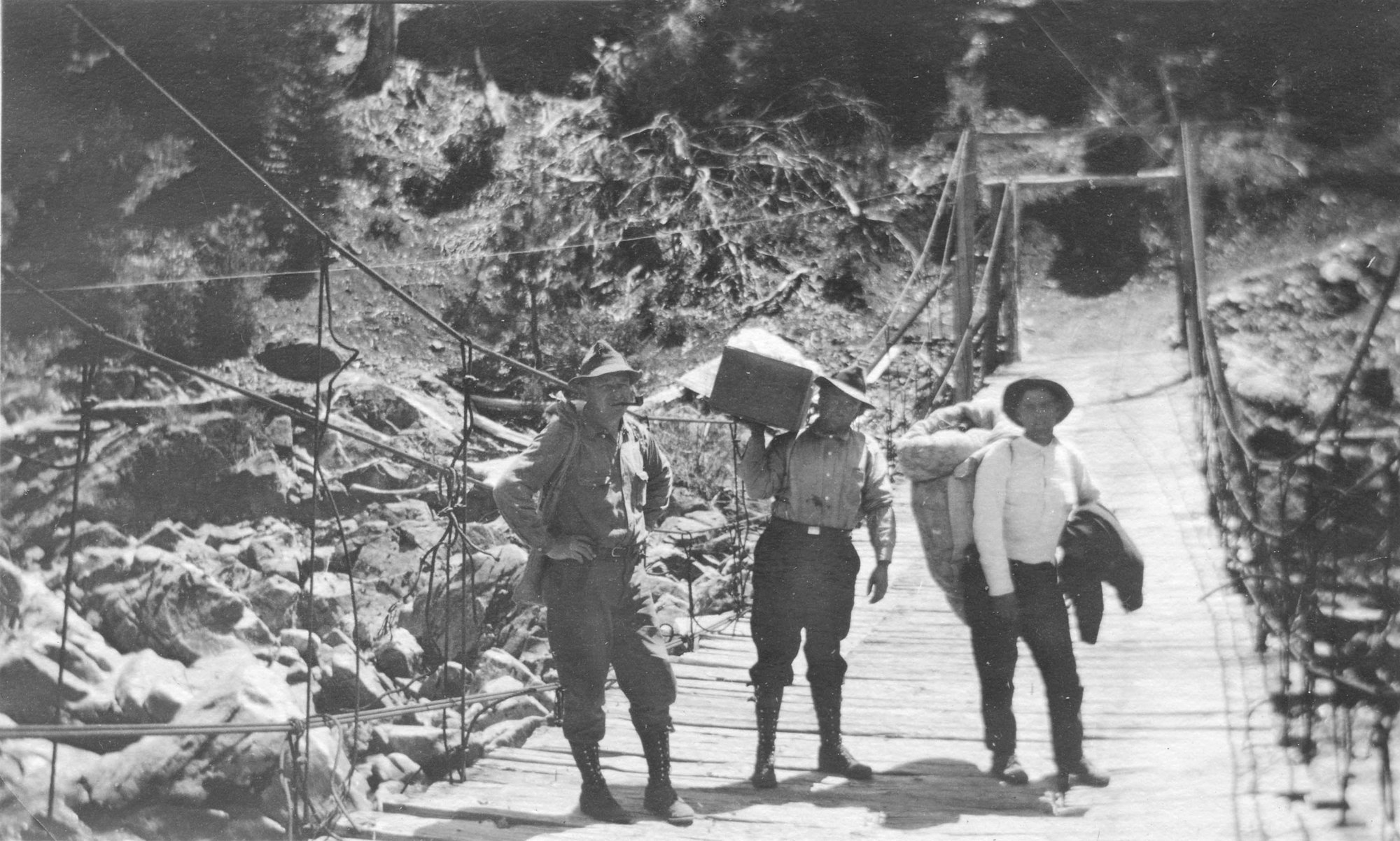
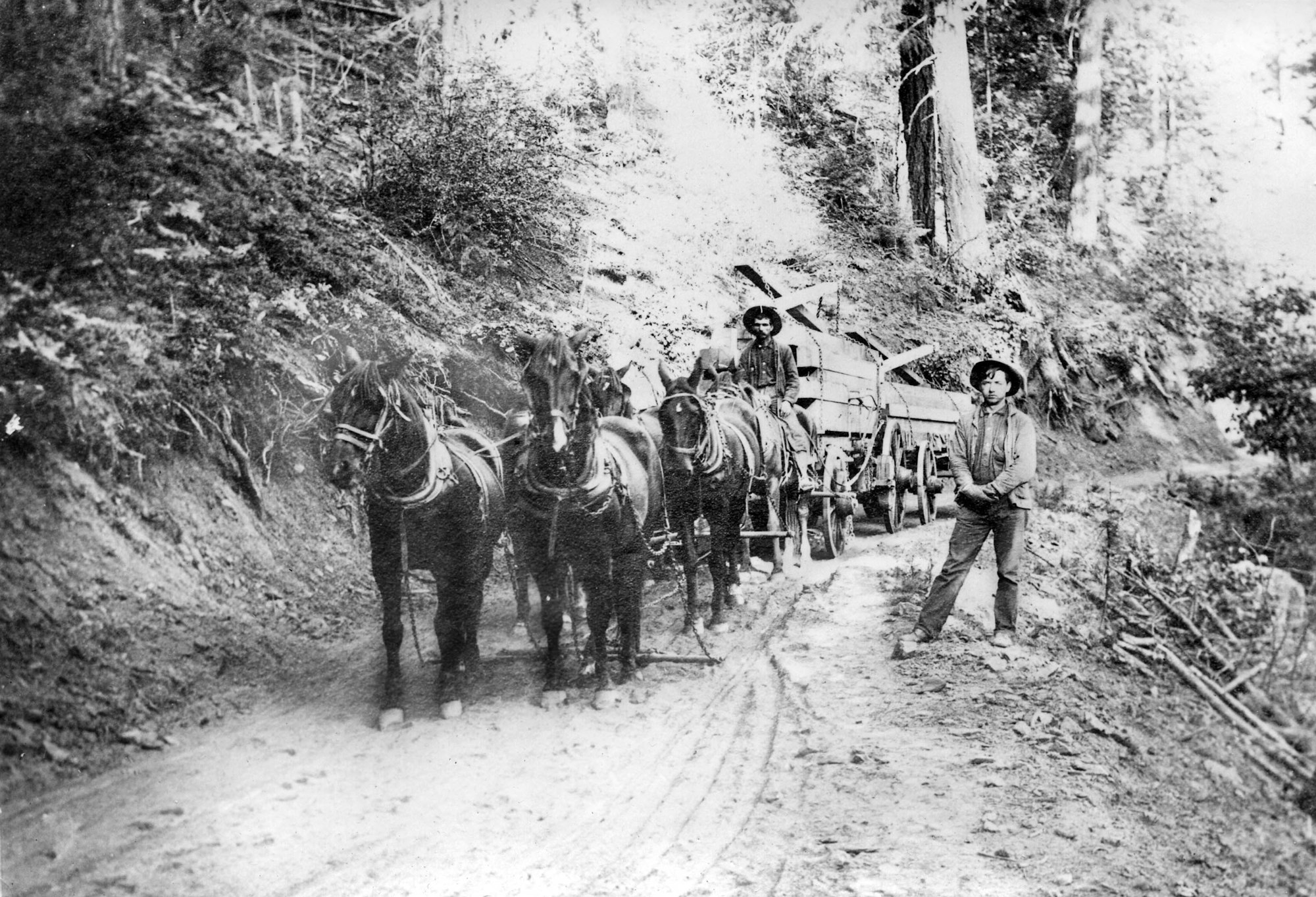
Indian footpaths lead eastward, providing the Forty-Niners access through the rough country. These paths supported foot traffic and pack trains and were soon improved into narrow wagon roads with bridges to transport the supplies and machinery needed for hard rock mining and logging. By 1852, the Mokelumne-to-West-Point Road supported a steam sawmill in Glencoe and by 1856 the stagecoach ran the entire route in a summer’s day. In the winter, the roads were often closed by huge potholes and deep mud. Thus, winter survival in the up-country depended on the harvest and storage of food in the fall by each family.
Isolated for nearly 100 years, up-county people survived as subsistence farmers who seldom asked or received anything from anyone. A large garden and orchard supplied food that was preserved when it was ripe while livestock and hunting provided meat. Each homestead was a world of its own, self-contained and self-sufficient. Except for an occasional job in a mine or neighbor’s ranch for a dollar a day, hard money was difficult to come by.
This up-county lifestyle was radically changed at the onset of WWII when lumber was identified as a critical resource. In the late 1930s and early 1940s, major road improvements and electrification enabled the construction of modern lumber mills. Hundreds of workers immigrated to the area, with the flush times continuing into the 1960s when the mills closed. Now residents are faced with a commute out of the area to find work.
Today there are few signs of the miners, homesteaders and lumbermen as the land is being subdivided by retirees fleeing the urban sprawl to the west. We are fortunate that some of our ancestors recorded their lives and hope that this small collection of photographs from their albums will provide an appreciation of our history.
by Patrick B. McGreevy, Glencoe, 2007